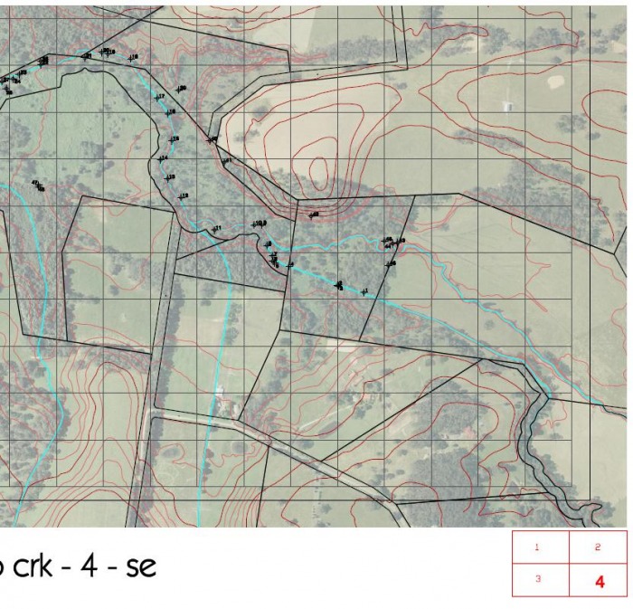
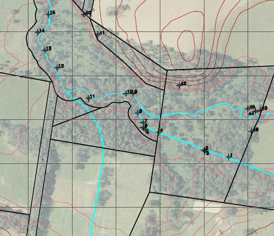
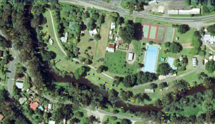
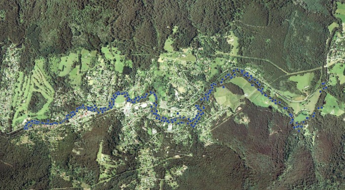
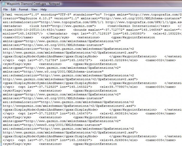
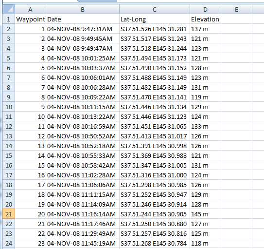
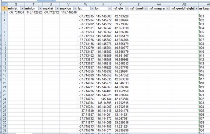
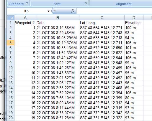
Data from hand held gps units can be imported into a drawing and superimposed over an aerial photo. This can facilitate communication of field notes, or for development of landscape plans for general landscape planning, design, or for production of drawings for planning permit applications.