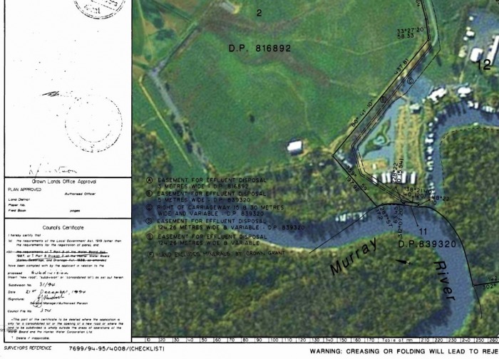
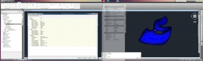
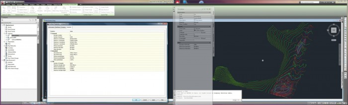
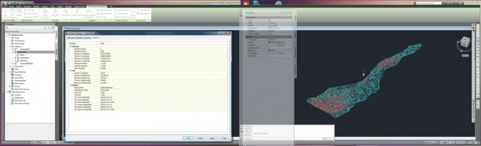
Site Survey Data Superimposed over Aerial Photographs
Site survey data can be imported and located to show a specific site superimposed over an aerial photo. Such survey data can allow accurate landscape modelling for informed design of water storage (dams), building siting or other large scape land planning. Older surveys can be scanned, and merged with available aerial, or satelite photos, enabling progression of further planning or design. Title information can be accurately drawn over a "geo-referenced" aerial photo, allowing correct title boundaries to show over the most recent aerial photo available.