| Gunn Landscape Architecture Horticulture |
|
|
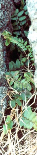
 Click on image to see full size version  |
| Gunn Landscape Architecture Horticulture |
|
|
Click on image to see full size version |